



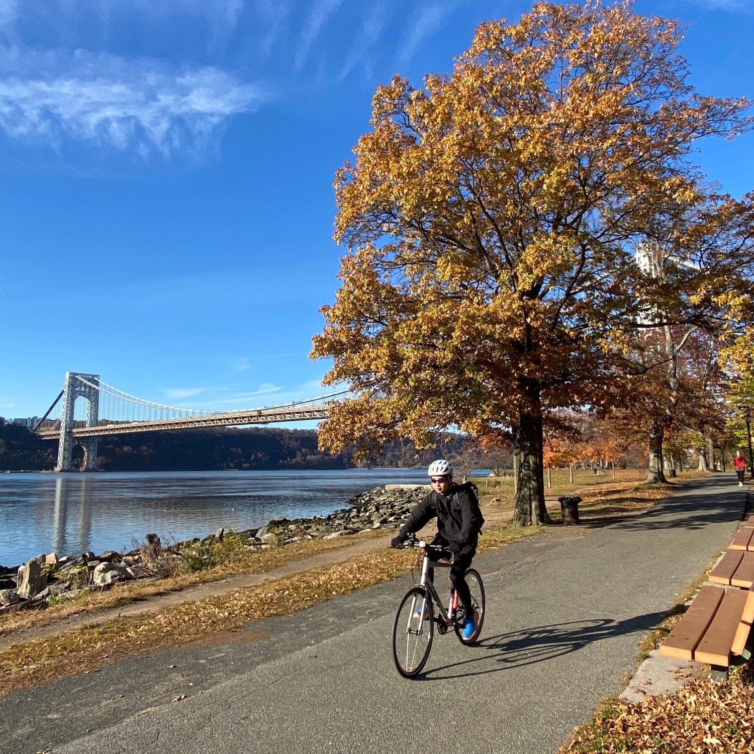
New York wants to expand its network of bicycle and pedestrian routes with more than 40 miles, about 64 kilometers, connections in the neighborhoods outside Manhattan. Yesterday, October 26, the Department of Transportation (DOT) announced a new design phase covering four corridors in the Bronx, Brooklyn, Queens and Staten Island. The goal is to connect parks, residential areas, industrial areas and public transport stations through safer routes for those travelling on foot or by bicycle. For the moment the Municipality is defining the tracks and collecting the indications of the residents, while the realization will happen in several stages.
The new connections will be greenway, continuous routes that cross parks, promenade and city streets, designed to allow walking, cycling and with assisted pedal vehicles. Unlike a single bike path, a greenway can include traits with different characteristics, from lanes protected along the roads to separate routes from car traffic. The problem that the municipality intends to face is precisely the lack of continuity: in different neighborhoods there already exist cycle routes and walks on the waterfront, but often end without connecting each other, forcing those who use them to enter on busy roads.
The first intervention to enter the public consultation phase will be the Bronx Waterfront Greenway, a route of about 15 miles, equivalent to 24 kilometers, along the eastern waterfront of the Bronx. The planned route will depart from Randall’s Island Park and reach the headquarters of SUNY Maritime College, in the area of Throggs Neck, near the bridge of the same name. It will cross an area where links between neighborhoods and green spaces are often interrupted by major road arteries, industrial infrastructure and properties that limit access to water.
The new greenway should improve especially the connections with Hunts Point, one of the main industrial and logistic areas of the city, where there are wholesale markets, warehouses and numerous activities that employ workers from different neighborhoods. The project also provides easier connection to the parks on the waterfront of Soundview and Throggs Neck. For residents, this would mean being able to reach some destinations without necessarily having to use a car or go along long stretches on roads without protected cycle infrastructure.
In Brooklyn, the project is called Historic Brooklyn Greenway and covers about 12 miles, just over 19 kilometers, between Coney Island, at the southern end of the district, and Highland Park, bordering Queens. The new route will have to fill the gaps between the infrastructures already present along Ocean Parkway and Eastern Parkway, two of the historically most important roads for cycling in New York. Ocean Parkway hosts one of the oldest cycle routes in the United States, built at the end of the nineteenth century, but the existence of these infrastructures still does not guarantee a continuous connection between the different parts of Brooklyn.
The plan also includes a connection with Broadway Junction, one of the main nodes of public transport in the district, served by several metro lines and the Long Island Rail Road in the nearby Atlantic Avenue. The idea is to make it easier to reach the bike station and continue the journey by public transport, as well as to facilitate access to green spaces such as Prospect Park. The details of the individual interventions, including the relevant roads and any changes to the circulation, will be defined during the design.
In Staten Island there is a corridor of about 10 miles, equal to 16 kilometers, along the northern coast of the island. The Staten Island Waterfront Greenway will connect the Goethals Bridge area to the west, with the Verrazzano-Narrows Bridge, to the east, passing through the North Shore. Among the points of interest are the St. George Ferry Terminal, used daily by commuters headed to Manhattan, and the areas affected by the waterfront rehabilitation projects of Tompkinsville and Stapleton.
The connection is particularly important for Staten Island, where daily travel is more dependent on the car than other areas in New York. The possibility of cycling a larger part of the northern coast could offer an alternative to some local routes and improve access to the seafront. In this case, however, the final route will have to take account of existing infrastructures, road intersections and spaces actually available.
In southern Queens, however, the municipality is studying a connection of about 7 miles, just over 11 kilometers, between Spring Creek Park and Brookville Park. The project, called Southern Queens Greenway, will be part of the existing Jamaica Bay Greenway network and should improve links to John F. Kennedy International Airport. The area is now characterized by large road infrastructure and a less developed cycle network than that of other neighbourhoods. The DOT intends to coordinate the design with the works that the Port Authority is carrying out to change road access to the airport. It has not yet been defined, however, what traits will allow to reach directly the terminals and what will serve especially the surrounding neighborhoods.
The four newly announced corridors are part of a wider program that includes six projects selected in 2023. The other two are the Harlem River Greenway, along the west coast of the Bronx, and the Queens Waterfront Greenway, intended to connect Gantry Plaza State Park, Astoria Park and Fort Totten. For the first the implementation plan was completed in December 2025, while the design of the second is still underway. The announcement of 26 October does not concern therefore six new yards, but the advancement of four of the six programmes already identified.
Planning is funded through a federal contribution of $7.25 million in the RAISE program, assigned to the city in 2022. These funds are used to study the routes, evaluate the existing conditions and identify the necessary interventions, not to automatically build all the kilometers announced. According to the DOT, plans for the six corridors should be completed by 2028. The simplest works, such as signs, changes to the pavement and small road interventions, can be realized first; the more complex ones will require additional funding and longer times.
The program takes the indications of the Greater Greenways Plan, published in 2025 by the DOT along with the Parks Department and the New York City Economic Development Corporation. The document analyzes the existing network and identifies the missing connections, with particular attention to the neighborhoods that have less infrastructure for walking and cycling. The choice of focusing on the outer districts in Manhattan also responds to this difference: while along the Hudson River and in some areas of Brooklyn there are already very popular routes in the Bronx, in southern Queens and in Staten Island the network is often fragmented.
An important role will be given to public consultations. The first meeting dedicated to the Bronx Waterfront Greenway will be held on Wednesday, November 4, from 18 to 20, at the BankNote Building, at 1231 in Lafayette Avenue, in the Bronx. A second meeting, online, is scheduled for Thursday 3 December, always from 18 to 20. Residents can report the roads considered more dangerous, the missing links and the destinations they consider priority. Registration is available through the official DOT greenway project portal. The meetings for Brooklyn, Staten Island and Queens will begin in 2027.
The involvement of residents will also help solve some of the problems that make it difficult to carry out continuous routes in a densely constructed city. A greenway can cross roads administered by the DOT, parks managed by the Parks Department and areas of competence of other public authorities. In some cases it will be enough to change the signs or protect an existing lane; in others more challenging jobs, new connections and agreements between different entities may be necessary. For this reason the Municipality has entrusted joint planning to three agencies: DOT, Parks Department and NYCEDC.
The associations dealing with cycling mobility have welcomed the start of the design, however, asking for concrete interventions to be followed. The NYC Greenways Coalition, a network of more than fifty organisations, stressed the importance of bringing secure infrastructure into neighborhoods that have long been lacking. In the Bronx, in particular, the coalition asks not to limit itself to the paths along the water, but also to provide transversal links that allow residents to reach them from the inner quarters.
For those who live in New York, the most important difference will be this: not only have new routes to go cycling in leisure time, but be able to use them to get to work, a station or a park without having to face particularly busy street traits.
L’articolo In the design phase over 40 miles of new bike and pedestrian routes proviene da IlNewyorkese.